-40%
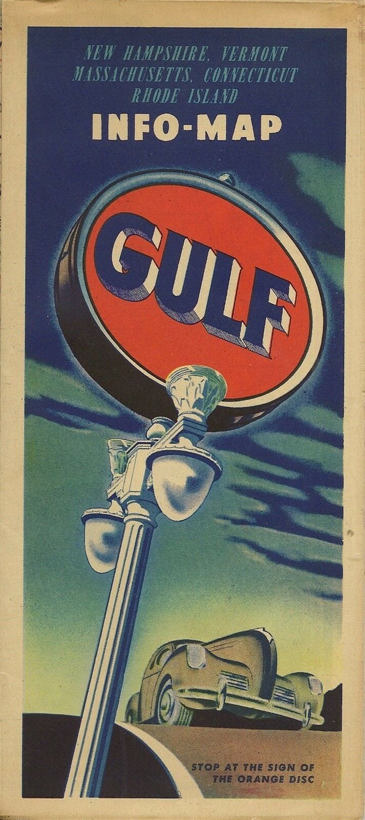
1949 GULF Road Map NEW HAMPSHIRE VERMONT MASSACHUSETTS CONNECTICUT RHODE ISLAND
$ 4.74
- Description
- Size Guide
Description
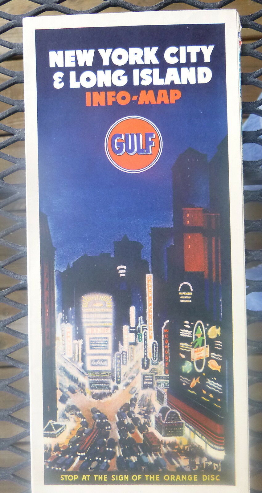
1949 GULF Road Map NEW HAMPSHIRE VERMONT MASSACHUSETTS CONNECTICUT RHODE ISLANDHandsome fold-out 1949 Gulf Oil Company road map of New Hampshire, Vermont, Massachusetts, Connecticut, and Rhode Island, printed more than 67 years ago.
This map opens to 27" x 32" and has great detail on old highway alignments, with cartography by Rand McNally.
Massachusetts, Connecticut, and Rhode Island are on one side, and the coverage area includes Cape Cod, Marthas Vineyard, Nantucket, and Long Island.
New Hampshire, Vermont, and southern Maine are on the other side.
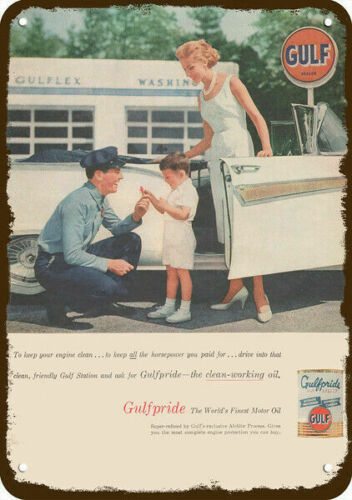
The map was distributed by Gulf in 1949 and is dated by the code number in the lower margin: 9-424046-12. The artwork on the back cover shows a Gulf service station with three uniformed attendants.
Condition:
This map is in very good, lightly used condition, bright and clean, with
no
marks, rips, or tears.
Buy with confidence! We are always happy to combine shipping on the purchase of multiple items, and everything we sell comes with
our unconditional, money-back guarantee.
Powered by SixBit's eCommerce Solution
